2026-08-13 ジョージア工科大学
<関連情報>
- https://news.research.gatech.edu/2026/08/13/rare-satellite-data-reveals-major-limits-flood-models
- https://agupubs.onlinelibrary.wiley.com/doi/10.1029/2025GL120832
SWOT衛星によるカホフカダム決壊洪水の観測は、洪水モデルの限界を浮き彫りにする SWOT Satellite Observations of the Kakhovka Dam Break Flood Highlight Limitations of Outburst Flood Models
K. E. Lehnigk, T. M. Pavelsky, K. A. Lang
Geophysical Research Letters Published: 17 April 2026
DOI:https://doi.org/10.1029/2025GL120832
Abstract
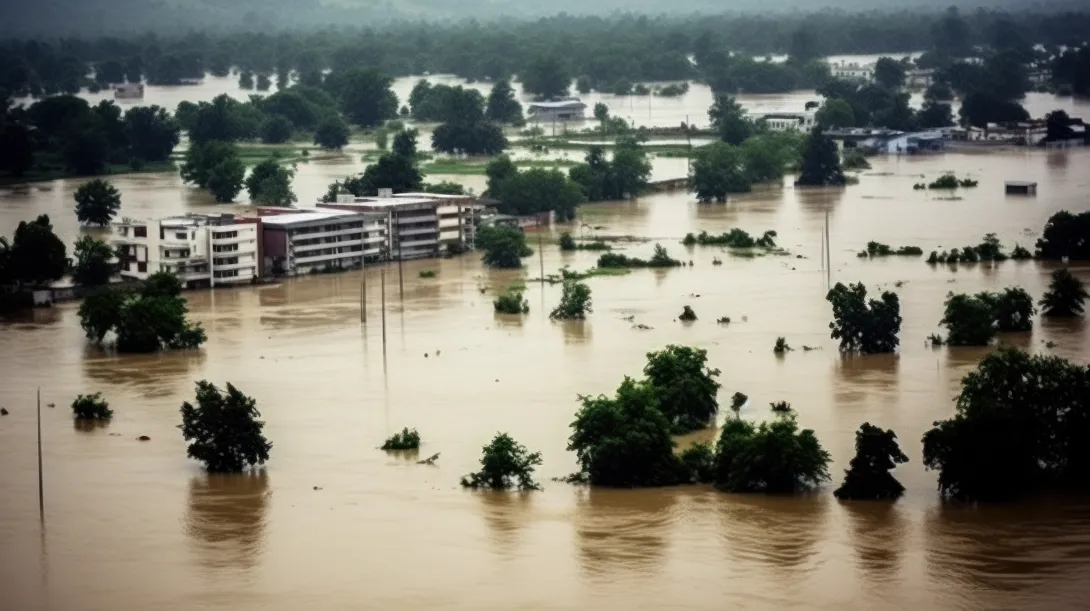
The 6 June 2023 failure of the Kakhovka Dam generated a catastrophic outburst flood, leading to loss of life and infrastructure damage. During the flood, daily measurements of water surface elevation were collected by the SWOT satellite, providing the first direct, high-resolution 2D measurements of a large outburst flood. We compared SWOT measurements with 2D numerical hydraulic simulations to evaluate the ability of flood models to reproduce outburst flood stage. Simulations reliant on minimally constrained, globally available reservoir bathymetry significantly underestimate flood stage. Modifying reservoir and channel bathymetry to reflect geomorphology produces better agreement with SWOT, and is closer to in situ reservoir bed elevations, yet still fails to reproduce both flood stage and timing. SWOT’s unprecedented direct measurements suggest that 2D flood models may not capture outburst flood dynamics at a level useful for geohazard decision making and demonstrate the need for more observational validation of this destructive and costly geohazard.