2024-05-07 NASA

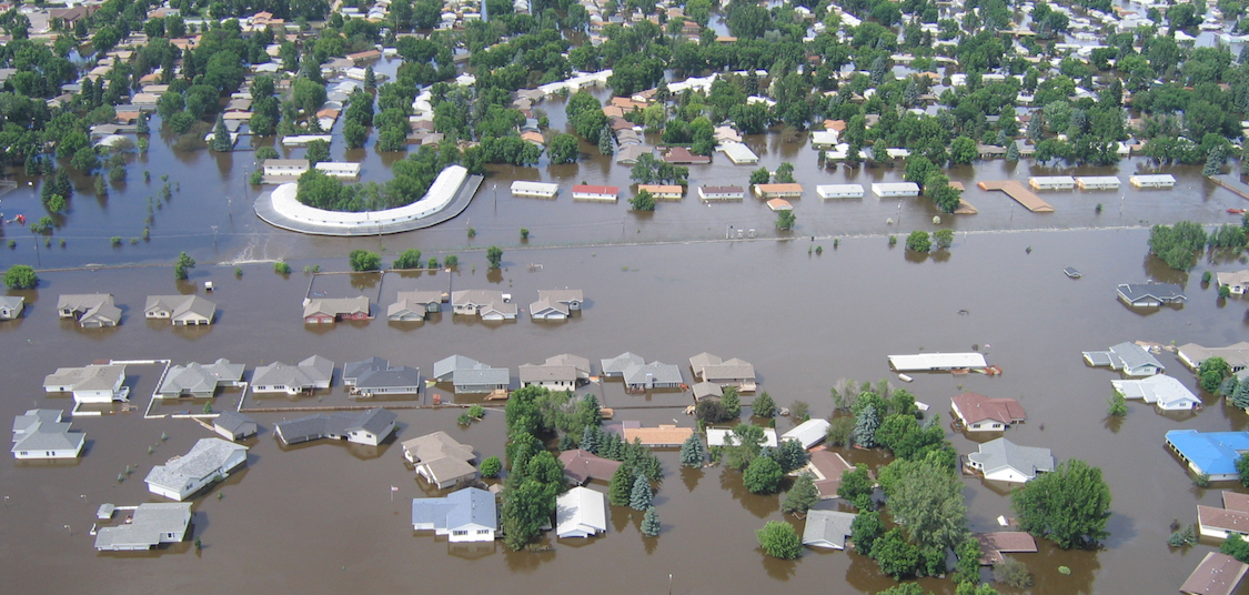
Flooding on the Souris River inundated this community in North Dakota in 2011. The U.S.-French SWOT satellite is giving scientists and water managers a new tool to look at floods in 3D, information that can improve predictions of where and how often flooding will occur.
Credit: North Dakota State Water Commission
NASAとフランス宇宙機関のパートナーシップにより、地球上の河川、湖、貯水池の洪水予測を改善することを目的とした衛星が運用されています。この衛星は、SWOT(Surface Water and Ocean Topography)と呼ばれ、地球上のほぼすべての水面の高さを測定しています。SWOTデータは、洪水が発生する場所と頻度をより正確に予測するのに役立ち、洪水モデルに組み込まれることで、米国河川の洪水リスクとそのタイミングを予測する水モデルの改善に貢献します。
<関連情報>


