2025-07-10 カリフォルニア大学サンタバーバラ校(UCSB)
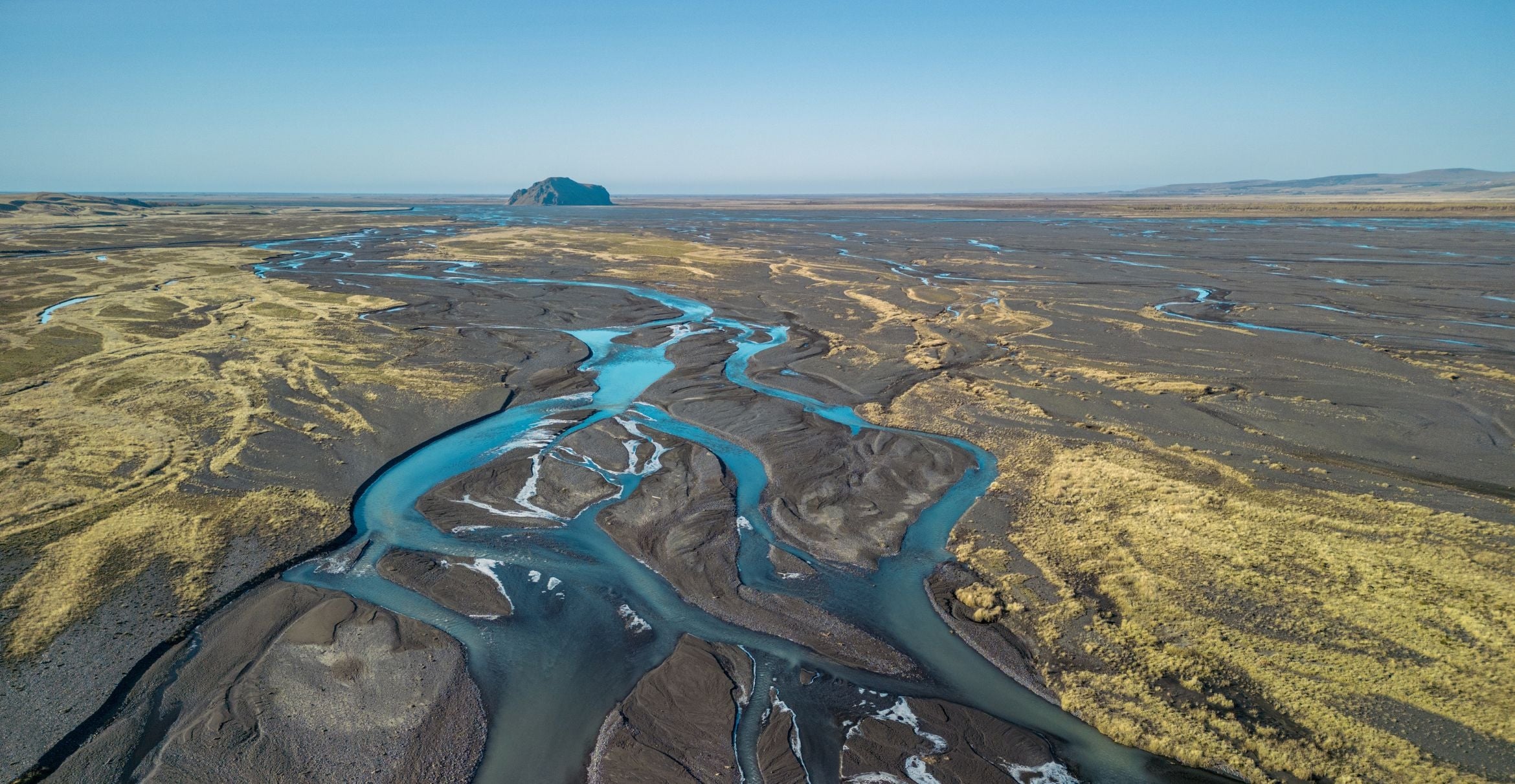
 Photo Credit:Luca Ronchi via iStock
Multi-channel rivers predominate in Iceland’s easily eroded volcanic soil.
<関連情報>
- https://news.ucsb.edu/2025/021948/rivers-choose-their-path-based-erosion-discovery-could-transform-flood-planning-and
- https://www.science.org/doi/10.1126/science.ads6567
- https://www.science.org/doi/10.1126/science.abm1215
横方向への浸食と付加の(不均衡な)バランスから生じる単層および多層河川 Single- and multithread rivers originate from (im)balance between lateral erosion and accretion
Austin J. Chadwick, Evan Greenberg, and Vamsi Ganti
Science Published:10 Jul 2025
DOI:https://doi.org/10.1126/science.ads6567
Editor’s summary
In rivers, water and sediment move down one or more pathways, or threads. Dams and dikes have forced many multithreaded rivers into single pathways, and effective restoration depends on knowing the mechanism behind a river’s original state. Using satellite imagery to measure changes over 36 years, Chadwick et al. determined that multithreaded rivers develop from an imbalance that favors erosion over deposition. Contrary to the common practice of erosion prevention, these findings suggest that allowing bank erosion would be a more effective way to bring modified rivers back to their natural state. —Angela Hessler
Abstract
Why river channels confine flow to a single pathway or divide flow into multiple interwoven pathways (threads) forms a long-standing fundamental question in river science, which to date remains poorly understood. In this study, we probed channel-pattern origins by mapping thread dynamics along 84 rivers from 36 years of global satellite imagery using particle image velocimetry. Results show that single-thread channels originate from a balance between lateral erosion and accretion, which enables a thread to migrate while maintaining equilibrium width. In contrast, multithread channels originate from imbalance—erosion outpaces accretion in individual threads, causing threads to repeatedly widen and split. Thread-width imbalance provides a mechanistic explanation for how multithread channels develop on Earth and other planets and, in application, can help lower the cost of nature-based river restoration projects.
川はどこへジャンプするか Where rivers jump course
Sam Brooke, Austin J. Chadwick, Jose Silvestre, Michael P. Lamb, […] , and Vamsi Ganti
Science Published:26 May 2022
DOI:https://doi.org/10.1126/science.abm1215
Abruptly changing course
River avulsions are places where a river abandons its channel, and they are a common feature of geomorphological structures such as deltas. Brooke et al. used 50 years of satellite images to look at the location and change in river avulsions globally (see the Perspective by Passalacqua and Moodie) and found that avulsions are often tied to changes in channel slope or sedimentation just upstream of the river. However, in some cases, the river avulsion is farther upstream than expected, likely due to erosional processes. Understanding what controls avulsion location in the context of climate and land use changes is vital because avulsions are strongly tied to risks from flooding. —BG
Abstract
Rivers can abruptly shift pathways in rare events called avulsions, which cause devastating floods. The controls on avulsion locations are poorly understood as a result of sparse data on such features. We analyzed nearly 50 years of satellite imagery and documented 113 avulsions across the globe that indicate three distinct controls on avulsion location. Avulsions on fans coincide with valley-confinement change, whereas avulsions on deltas are primarily clustered within the backwater zone, indicating a control by spatial flow deceleration or acceleration during floods. However, 38% of avulsions on deltas occurred upstream of backwater effects. These events occurred in steep, sediment-rich rivers in tropical and desert environments. Our results indicate that avulsion location on deltas is set by the upstream extent of flood-driven erosion, which is typically limited to the backwater zone but can extend far upstream in steep, sediment-laden rivers. Our findings elucidate how avulsion hazards might respond to land use and climate change.


